| Schwierigkeit |
S1
mittel
|
|
Aufstieg
|
14513 hm |
|
Abstieg
|
14453 hm |
| Tiefster Punkt |
Lanžhot 150 m |
| Höchster Punkt |
Poledník 1315 m |
|
Dauer
|
119:48 h |
|
Strecke
|
1.078,1 km |
Via Czechia - South Trail - cycling

Quelle: Via Czechia - long distance trails in Czech Republic, Autor: Jan Hocek
Die Tour
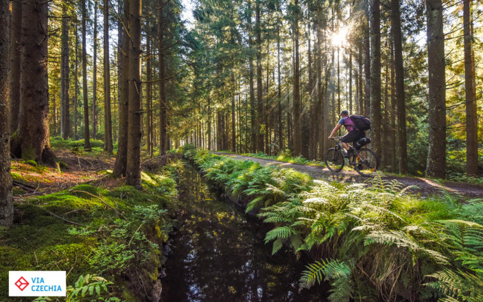
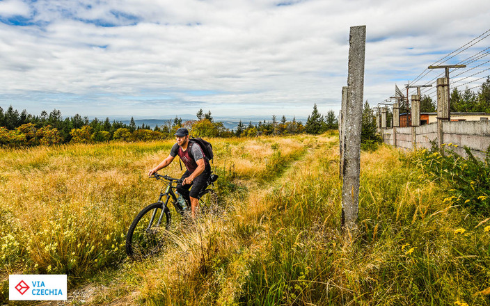
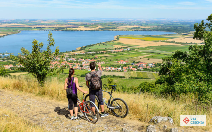
The South Trail of Via Czechia is the second longest cycling route in Czechia (after the North Trail). The trail connects easternmost and westernmost points of Czechia, passes through 15 mountain ranges and geographical areas, over 6 protected landscape areas, 2 national parks and countless historical towns, nature reserves and natural monuments. If you complete the whole trail, you would set foot on the easternmost, southernmost and westernmost points of Czechia.
Unforgettable Journey
Via Czechia long-distance trails are inviting you to explore and enjoy the rich natural, historical and cultural heritage of the country that forms the heart of Europe. Come and cross this small country from its westernmost to the easternmost border, explore its rich cultural heritage first shaped by the Celtic tribe of Boii, who left their mark not only in the name of the country “Bohemia” but also in the landscape by having built their centuries-lasting oppida. Stop in small towns and sites of Christian pilgrimage nestled along the way – the silent witnesses of the glory of the ancient Kingdom of the Czech Crown, and let the footpaths lead you again through the countless mountain ranges, picturesque sceneries and deep forests.
Easy to Plan
Cycling the entire trail takes between 2-3 weeks one way. Links to all stages and gpx files are to be found on Via Czechia website.
You don’t have to cycle the entire trail at once. The trail is broken down to stages the start and finish of which are served by public transportation.
Each stage finishes in a place that caters for hikers and bikers and offers convenient accommodation. We mapped the providers along the trail and prepared a list of recommended mountain lodges, hotels, guest houses.
Easy to Navigate
The trails follow mostly the cycling or hiking paths marked by signs of the Czech Tourist Club. The Club’s world-unique hiking trail marking system was established over 100 years ago and has been developed and maintained by its members on a voluntary basis ever since.
Info
Karte
Details
|
Kondition
|
|
|
Erlebnis
|
|
|
Landschaft
|
|
| Technik |
Beste Jahreszeit
Weiter stöbern
Wegbeschreibung
Start
Easternmost point of Czechia
Ziel
Westernmost point of Czechia
Weg
The trail is broken down to 12 sections, representing separate mountain ranges or geomorphological regions. These sections are:
1. Moravian–Silesian Beskids - 62 km
2. Maple Mountains - 51 km
3. White Carpathians - 125 km
4. Dolnomoravský úval - 85 km
5. Mikulov Highlands and Dyjsko-svratecký úval - 80 km
6. Bohemian-Moravian Highlands - 132 km
7. Trebon Basin - 29 km
8. Novohradské Mountains - 98 km
9. Šumava Mountains - 192 km
10. Všeruby Highlands - 31 km
11. Bohemian Forest - 127 km
12. Fichtel Mountains - 65 km
Weitere Informationen
Ausrüstung
Classical mountain bike is best, but trekking or gravelbike is also OK.


