| Schwierigkeit |
leicht
|
|
Aufstieg
|
60 hm |
|
Abstieg
|
60 hm |
| Tiefster Punkt | 782 m |
| Höchster Punkt | 836 m |
|
Dauer
|
1:00 h |
|
Strecke
|
16,4 km |
Around the Bannwaldsee

Quelle/Autor: Tourist Information Schwangau
Die Tour
Brunnen - Hegratsriedsee - Greith - Berghof - Bayerniederhofen - Bannwaldsee - Brunnen
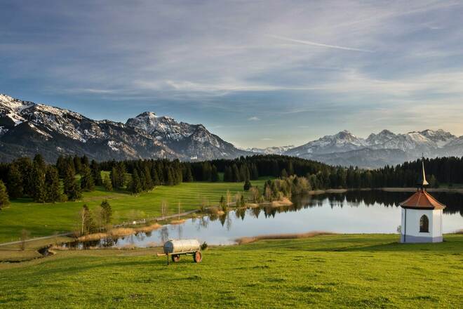
Varied round trip around the Bannwaldsee with beautiful views of the landscape
Info
Karte
Details
|
Kondition
|
|
|
Erlebnis
|
|
|
Landschaft
|
Beste Jahreszeit
Wegbeschreibung
Start
carpark Schwangau-Brunnen
Ziel
carpark Schwangau-Brunnen
Weg
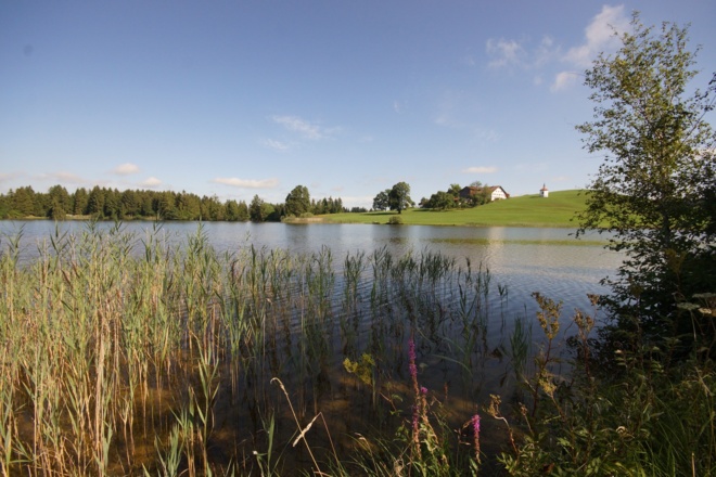
Starting point is at the Karbrücke in the village Schwangau-Brunnen. Cross the small stone bridge and follow the cycle path towards Buching. On easy unlevelled path is a leisurely ride to Hegratsrieder See, one of the warmest bathing lakes around Schwangau and Buching. Continue to the next junction, to the left is the Forggenseerunde, but for this tour, take the path to the right in the direction of Berghof-Bayerniederhofen. Here, pass the church and after about 300m, turn right towards Schwangau/Bannwaldsee. The tour continues pass the Bannwaldsee. Here, do be careful as there are many cyclists on the way as the path meanders between the campsite and B17. Soon along the Mühlberger Ach and over the arched bridge at Mühlberg, it rolls leisurely back to the Karbrücke in Brunnen.
Anreise
Anfahrt
You have to drive to "Schwangau - Brunnen" there is a bridge, and after this there you will find the carpark
Parken
Carpark in "Schwangau-Brunnen"

